Adding a Garmin MSC 10 Satellite Compass to an Existing Autopilot
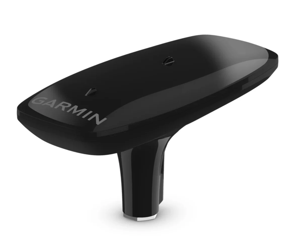
Every Garmin Reactor autopilot ships with a magnetic compass built into the course computer, and for a lot of boats that’s fine. Mine isn’t one of them — between the radar arch, the trolling motor, and everything else bolted to an aluminum boat, there’s enough metal and current near the helm to pull a magnetic heading off true by a few degrees, and a few degrees is the difference between an autopilot that tracks a arrow-straight line and one that hunts back and forth all day. The fix was adding a Garmin MSC 10 satellite compass to the network, and it’s been worth it — but it comes with one real limitation that isn’t obvious until you understand how it actually works.
Magnetic vs. satellite: what’s actually different
A standard fluxgate compass, like the one built into a Reactor course computer, reads the earth’s magnetic field directly. That’s simple and reliable in open water, but it’s vulnerable to anything magnetic near the sensor — engines, big alternators, speakers, trolling motor batteries, even the aluminum hull itself on certain boats can cause deviation that has to be compensated for and re-checked over time.
The MSC 10 sidesteps that problem entirely by deriving heading from GPS instead of magnetism. It uses multiple receivers to deliver heading accuracy within about 2 degrees at a 10Hz update rate, and because it isn’t reading a magnetic field at all, none of the interference that plagues a fluxgate compass matters to it. For a boat with a lot of metal and electronics near the helm, that’s the whole appeal: a heading source that doesn’t care what else is running.
The catch: it’s useless standing still
Here’s the part that isn’t obvious from the marketing: a satellite compass derives heading from the boat’s own movement across the water, not from something it can sense while sitting motionless. At speed, that works beautifully — GPS tracks your actual course over ground with precision no magnetic sensor can match. Idle at the dock, maneuvering slowly in a marina, or sitting on anchor, there’s no reliable movement to derive a heading from, and a GPS-only compass would either freeze on stale data or hunt around trying to find an answer that isn’t there. Neither is acceptable on a boat — an autopilot that starts hunting for heading at idle will spin the wheel looking for a signal that doesn’t exist, and a compass that can’t tell you which way the bow is pointing on anchor isn’t doing its job.
Garmin’s answer is a small internal magnetometer built into the MSC 10 itself, used as an automatic, seamless backup. Above a real cruising speed the unit trusts its GPS-derived heading; drop below that threshold — idling, slow-speed maneuvering, sitting still on anchor — and it hands off to its own internal magnetic sensor without any input from you, keeping the boat’s heading accurate and steady instead of letting the autopilot spin looking for a satellite-based answer that requires motion to exist.
Why it still needs calibration
This is the detail that trips people up: buying a satellite compass specifically to get away from magnetic-interference problems, and then discovering it still needs a full magnetic calibration swing — slow circles on the water until the system confirms it’s mapped the local field — before you ever leave the dock for real. The reason is exactly the backup behavior above: that internal magnetometer is what keeps your heading correct at idle and on anchor, so it has to be calibrated just like any other magnetic compass would be, even though the unit spends most of its running time ignoring magnetism entirely in favor of GPS. Skip the calibration and you get a compass that’s excellent at speed and unreliable the moment you slow down — which, for most of us, is right when we’re trying to hold position over a piece of structure.
Setting it up on an existing Reactor
If you’re adding an MSC 10 to a boat that already has a Reactor autopilot running on its own built-in compass, the install is straightforward on the NMEA 2000 backbone — it’s a network addition, not a re-wire (the NMEA 2000 setup guide covers backbone, drops, and termination if you’re planning the wiring). That depth of networking is a GPSMAP-family trait specifically — see the GPSMAP series breakdown if you’re speccing a chartplotter with this kind of expansion in mind. The part worth doing carefully is the setup sequence on the chartplotter: run the magnetometer calibration on the water first, at a genuine cruising speed (Garmin specs a minimum of around 4 mph to complete the heading alignment), then set the MSC 10 as the preferred heading source in the network settings so the Reactor actually uses it instead of defaulting back to its own internal compass. Skipping either step leaves you with an expensive sensor sitting on the network doing nothing.
Bottom line
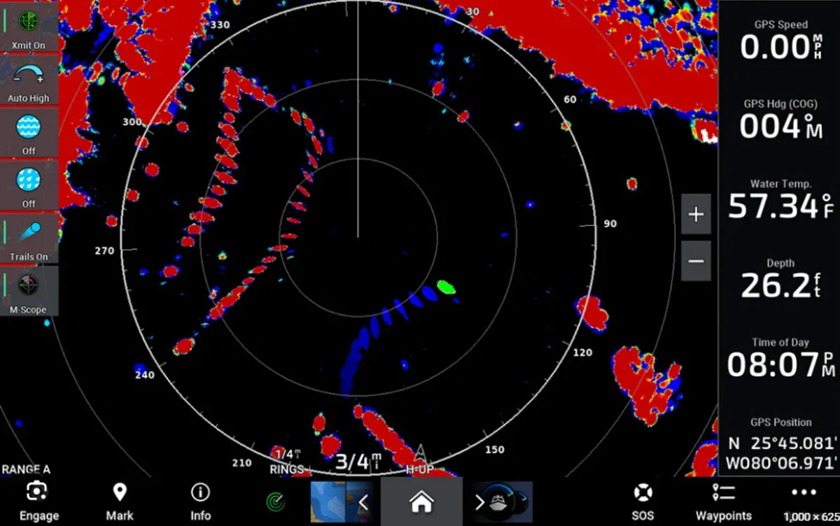
A satellite compass solves the real problem a magnetic-only setup has on a boat full of metal and electronics — rock-solid, interference-free heading at speed. It doesn’t replace the magnetic compass so much as it demotes it to a backup role for the one situation GPS heading can’t cover: standing still. Calibrate both halves of it properly and you get the best of each — accurate heading underway, and a boat that still points the right way on anchor. A good heading source pays off beyond the autopilot too — see the radar setup guide for why radar overlay and MARPA both lean on the same accurate heading this solves.
This article may contain affiliate links. If you buy through them, we may earn a small commission at no extra cost to you. Learn more.